
Search a South Carolina Street by Address
The South Carolina street search works best as a record chain. First make sure the postal address is written in a form the county portal can read. Then find the county parcel and its TMS or PIN. That parcel identifier is the bridge to the tax card and recorded deed. GIS shows nearby land shapes, while the Register of Deeds shows legal transfers. An older directory may link a street number to a listed resident in one year, but it cannot fill every year or name every person in a home.
These steps use different records for different facts. Write down the portal, search date, county, parcel number, and source field for each result. Keep a tax mailing address apart from the situs, which means the parcel’s physical location. A matching owner name and street number is a lead, not a full household record.
- Use USPS to check the street, city, state, and ZIP format, adding a unit when more than one address matches.
- Search the right county assessor by address, owner, or parcel number and note the situs and tax mailing fields.
- Open the county GIS map, confirm the parcel shape and road, and record the TMS or PIN.
- Use that identifier, deed book and page, or legal description to find the recorded transfer at the Register of Deeds.
- For past residents, check local reverse directories and library shelves for the right town and year.
South Carolina Street Address Format
USPS is the first check when a street name or post-office city has changed. Its address mode takes a street plus city and state, or a street plus ZIP; a unit number helps when more than one address matches. The separate city/state form returns recognized post offices, while a ZIP search returns associated post-office names. A postal city can differ from the town with police, permit, or court authority, so confirm the county and municipality after the address is clean.
The address is only a search key. It does not prove that a person or business is at that location. Keep the USPS result beside the county’s situs, legal description, and parcel number. If a county map places the lot on a different street edge or outside the town line, use the parcel office that owns the record rather than the name printed by the mail system.
USPS’s City State Product also associates ZIPs with preferred and recognized post-office names, and those names need not match a municipality or county. A mail address for a community outside town limits can still be served by that town’s post office. For a permit or court question, confirm jurisdiction through county GIS, the local addressing office, or the named city department; a postal city is a delivery label, not a boundary ruling.
South Carolina Assessor and GIS Fields
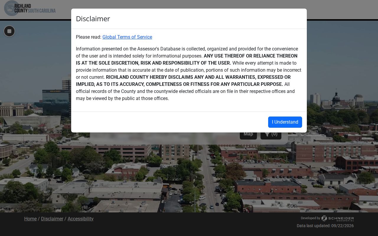
South Carolina county portals are not alike. Richland’s property search offers address, owner, or tax-map routes; Charleston’s search separates name, address, parcel ID, and sales-date modes. The Richland County Property Search shows its owner, address, and tax-map choices in the interface.
Use the fields as the county presents them. Charleston’s street-name search works best without a suffix such as St. or Ave.; a TMS search can split an address with several lots or units.
| County tool and field | Search or control | What it does |
|---|---|---|
| Charleston property search | Last Name, First Name, Middle Name | Owner-name search; partial-match behavior should be checked live. |
| Charleston property search | Street Number and Street Name | Address route; omit the street type for best results. |
| Charleston property search | Parcel ID (TMS) | Search a known parcel number. |
| Charleston property search | Sales Date | Separate search route with a date range. |
| Charleston GIS viewer | Search box | Parcel number, address, street name, or owner. |
| Charleston GIS viewer | Layers and imagery | Base map plus listed aerial years from 2001 through 2019. |
| Charleston GIS viewer | Select and Buffer | Select parcels; set a distance in feet around them. |
| Charleston GIS viewer | Labels and Save to CSV | Prepare parcel or address labels for selected parcels. |
Richland’s ROD subscription search also offers tax map, book/page, name, address, and legal description; the county warns that address or TMS is not present on every document.
Use the assessor for the parcel facts and the Register of Deeds for the instrument itself. Charleston’s property search can begin with owner fields, a street number and street name, a TMS, or a separate sales-date route; its basic transfer information is reported complete to 1991. That transfer summary does not replace the recorded deed. Richland’s mapping page links to the owner/address/tax-map search and separately explains deed-index access, which has a later online image threshold and subscription options. Record the portal name and last year visible before moving to an office or archive.
Walk a South Carolina Street in GIS
Charleston County’s public parcel viewer accepts a parcel number, address, street name, or owner in its search box. Once a result is centered, the map can be zoomed, panned, and inspected by selecting parcel polygons. Its Select tool can collect one or more lots; Buffer takes a distance in feet around a selected area, and parcel or address labels can be saved for the selected map features. A buffer is a geographic working area, not a list of residents or a statement that everyone inside it knows one another.
Use aerial layers to compare visible site changes with parcel geometry, then check a deed or assessor card for the legal lot. The captured Charleston viewer documents imagery years including 2001, 2004 for East Cooper, 2009, 2012, 2015, 2017, and 2019. RFA’s district maps add legislative, school, voting, and special-district context. District lines can cross a street or change after redistricting, so save the map date and verify a current result before using it to route a records question.
For each neighboring polygon, copy the TMS/PIN before leaving the map. Open that identifier in the assessor, compare situs and tax-mail fields, and follow any deed book/page into the ROD index. If the viewer does not link directly to the parcel card, search by the street number or map number in the county property portal. The RFA mapping resources provide a statewide point of entry for district and jurisdiction maps.
South Carolina Parcel Terms
Some field labels sound alike but point to different facts. A street-by-street check is clearer when each number or map term is kept in its own column.
- Parcel or TMS/PIN
- A mapped piece of land with a county tax identifier; a condo, split, or merged tract may have more than one.
- Situs address
- The place where the parcel sits. It may differ from the address used to send tax bills.
- Legal description
- The deed’s way to define a lot, block, plat, or metes-and-bounds tract for title records.
- Criss-cross directory
- A printed or digital book that can list an address and the resident name recorded for a given year.
A recorded plat is a drawing filed with land records that lays out a subdivision, lot, or right-of-way. The legal description may point to its book and page; a street address can be reassigned while the lot and plat stay the same. When map and deed wording do not match, preserve both forms and ask the ROD or assessor which parcel record is current.
For an older address-to-name clue, a reverse volume complements these current parcel records rather than replacing them. The South Carolina city directory collections page explains which printed and scanned years are available and how to read the address section.
South Carolina Street-Level Record Sources
South Carolina has no statewide property portal, so each row begins with the county or town that keeps the file. The sources can connect an address to land, a recorded party, or a past listed person. They do not all describe the person who uses a building today. For a long street, repeat the parcel search and save the source date beside each house number.
| Record Set | Keeper | What It Shows | Access |
|---|---|---|---|
| County assessor | Tax owner, parcel number, situs and mailing address | County assessor portal or public counter | Online where offered; office copy route varies |
| County GIS | Parcel shape, road, TMS/PIN, map layers | County mapping office | Free viewer in inspected examples |
| Deed and plat | Recorded parties, legal description, lot, block, easement | Register of Deeds or Clerk acting in that role | Index, image, courthouse book, film, or copy request |
| Voter record | One matched voter’s status, address, precinct, districts | State or county election office | Name, county, and birth date for individual check |
| Permit or code file | Address, case, dates, owner, applicant, contractor | City or county department | Local portal, records counter, phone, or FOIA |
| Reverse directory | Address to a listed resident for a given year | Local library or licensed collection | Shelf, microfilm, or subscription access |
The TMS or PIN ties a map to a parcel card, and a deed book or page can lead to the transfer. A permit or code record can date a change at the address, but the applicant or contractor may not be the owner. A voter search is an individual check, not a free way to list a whole street. The online and in-person route depends on the record keeper.
For a South Carolina street directory search, keep one row per parcel and record the county, TMS, source date, and whether the clue is ownership, a recorded transfer, or a historical listing.
Save the result date beside each source because the records update on different schedules. An assessor card may carry a tax year, a GIS layer may show an imagery date, and the deed index uses a recording date rather than a move-in date. On a block with numbered houses, search each number or use the map to identify parcel boundaries first; street-name searches can miss corner lots, units, and tracts that use a highway or subdivision address instead.
South Carolina Deed Index Access
A tax card can point to a deed book and page, but each county has its own online start date and copy cost. Charleston County’s Register of Deeds reports deed and mortgage index data from 1978, with images from 1997. Physical books reach back to 1719–1960; film and microfiche cover 1960–2005. The online images are free per the research source’s FAQ, while office copies cost 50 cents per deed page and 50 cents or one dollar for a plat. Richland’s Register of Deeds has indexed data from 1984 and images from 1998 under subscription, with older material at the courthouse.
Charleston’s Day Book is a separate dated recording log, with maker, recipient, instrument type, and book reference in its result. The previous-residents guide shows the search fields and explains how to use the log when walking backward through an address chain. For older Charleston name-index gaps, the portal also documents a “REFERENCE TRACER” query in the last-name field under DM-NAME; follow the original book letter and number to identify the earlier instrument.
Begin with the current owner as a grantee and constrain the search by an approximate recording date. In the deed, carry forward the grantor, lot or tract, legal description, and earlier book/page citation. Search that grantor as a prior grantee, then compare the description and recording sequence before treating the hit as the same parcel. For several lots on one street, the plat book/page can separate the branch of the chain. Older online gaps may lead to books or film rather than a missing transfer; ask the county office which record series follows its portal cutoff. Fee schedules and subscription prices can change, so confirm the live office page before ordering.
South Carolina Voter and Permit Clues
MySCVotes confirms one registration when the name, county, and date of birth match the voter card. It is not a reverse address search. A full voter file is available only to a registered South Carolina voter under S.C. Code §7-3-20(D)(13), and public information from an agency cannot be used for directed commercial solicitation under §30-2-50. At block scale, the county board can explain poll-book access and the rules that apply to the record.
Permits and code cases have no one statewide portal. Use the municipality’s building, planning, or code office for a town address; an unincorporated parcel may belong to a county department. Online tools may search by street, parcel, case number, applicant, contractor, or date, but the exact form varies. If nothing is indexed, call the department, ask for its records counter or custodian, or send a narrow FOIA request for permits at the parcel during named years.
A permit file may identify the work, application and final dates, project description, owner or applicant, contractor, inspections, and parcel address. Code files may add a case number, violation, status, and dates. These are municipal or county records rather than a uniform state roll, and older paper files may not be indexed for address search. Ask whether the building department keeps the file or transferred it to a records center, and request an existing permit record by address or TMS instead of asking an office to create a household history.
South Carolina Streets Through Time
A modern street query can miss an older deed because South Carolina records have been filed by parish, county, district, and later county again. Before 1785, much county business ran through Charleston; county units were used from 1785 to 1799, districts from 1800 to 1868, then counties again under the 1868 constitution. The SCDAH county guide and maps can show which office held an older record.
Columbia, Charleston, and Greenville directories may also use an old neighborhood name or street grid. Compare the current parcel with a historic map, cross street, subdivision lot, and deed description. In 2025 the State Archives made its P900035 map collection searchable at item level. Search the SCDAH map catalog update by county or town to find older boundary and street sheets. A street name can change without changing the underlying lot, so use the map and deed together.
South Carolina’s jurisdiction layers have shifted over time: parish government preceded 1785, counties served from 1785 through 1799, districts ran from 1800 to 1868, and county government returned under the 1868 constitution. A historical entry can therefore be filed under an earlier district or parish even when the address is now in a county with a different name or boundary. No complete statewide list of street renumbering projects was located in the research; for one block, use the county map guide, old directory street names, cross streets, and the property’s plat rather than assuming today’s number existed in the earlier record.
Find South Carolina County and City Lines
A street can carry a postal city, an incorporated municipality, and a county jurisdiction that do not share the same outline. The USPS-recognized city helps route mail. County GIS and tax maps identify the assessor and parcel; local addressing and planning offices clarify municipal permits and service areas. Near a county line, check the parcel polygon instead of relying on the ZIP or mailing city. South Carolina’s RFA mapping resources and SCDAH boundary maps help place voting, school, legislative, and historic records in context.
When a road crosses a boundary, the same street name may lead to separate tax and permit systems. Confirm the county for every parcel, then use the city clerk or building department only where the parcel lies inside that municipality. A town may also have annexed land after a directory or map was published. Historical maps can explain why a source names an older district, while a current county map tells you where to request a present-day assessment. Keep the old jurisdiction and current jurisdiction together in your notes.
Limits of a South Carolina Street Search
A street directory cannot show every person at an address. County property rolls name tax owners, not all family members or other people who may use the building. DMV address data is restricted by the federal Driver’s Privacy Protection Act, 18 U.S.C. §§2721–2725. Utility and delivery accounts are not public household lists. A contractor, permit applicant, or tax-mail recipient can also differ from the person who lives at the site.
Richland County allows an owner to request that a property be removed from its online access, and address-confidentiality protections can change what public-facing systems display for eligible participants. Some public forms also suppress information by statute or record type. If a result appears incomplete, ask the custodian about access rules instead of trying to reconstruct protected details from nearby addresses. A private map or business record should not be used to publish a resident list; keep address notes limited to the lawful research question that led to them.
If the research question shifts from the whole street to confirming one person across official records, follow the South Carolina resident lookup route and keep the name, county, and source date attached to each result.
Lawful use. South Carolina records are for lawful personal, family, and civic research. Do not use an address trail to stalk, watch, harass, or threaten anyone; report an immediate safety risk to local police.